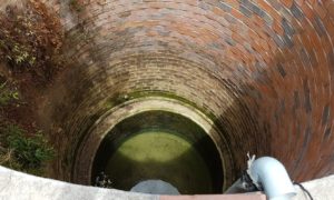
Over-allocation of surface water for growing food crops is shifting agriculture and other industry to use groundwater – which is much more difficult to measure and monitor.
Using local producer knowledge as ‘soft data’ to estimate groundwater use in modelling is a helpful tool in mapping sustainable use of scarce resources, Flinders University researchers say.
Environmental and water experts from Flinders have described the technique in a new paper published online in the Journal of Hydrology: Regional Studies.
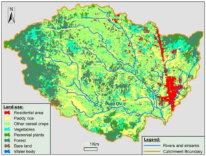
The heavily agricultural La Vi River Basin in Vietnam was the focus of the study, forming part of a five-year project funded by the Australian Centre for International Agricultural Research (ACIAR).
“Groundwater use for food and industrial production is increasing globally, putting pressure on groundwater resources and associated ecosystems,” says Flinders University Professor Okke Batelaan.
“In many countries, particularly in developing regions as well as Australia’s Murray-Darling Basin (MDB), this abstraction may be poorly organised and not regularly gauged for data.”
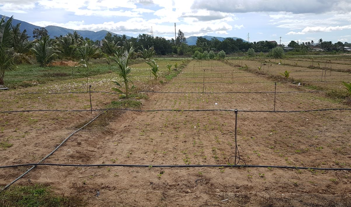
The researchers, including John Allwright fellow Flinders PhD candidate Manh Hai Vu, interviewed local farmers about their land use, agricultural practices and water use.
The approach was very helpful in collecting base line information for future use – particularly when climate change or variable rainfall pose a threat to future water management, says Dr Margaret Shanafield, from the National Centre for Groundwater Research and Training based at Flinders University.
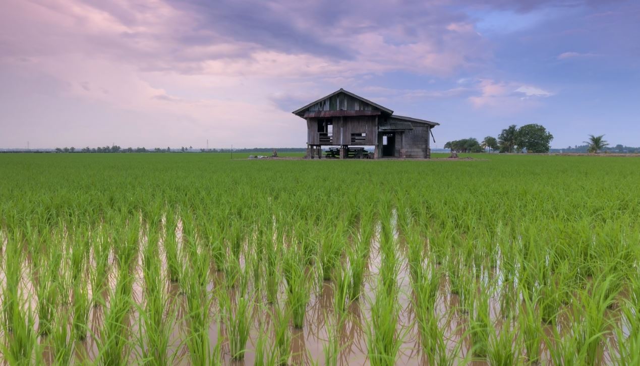
“Although often thought of as a wet, tropical climate, Vietnam’s South central coast has long dry seasons, and hence suffers from surface water shortages, similar to many parts of Australia,” she says. “Groundwater use provides a significant solution to local farmers for producing cash crops and improving livelihood.”
The system could also be used in Australia in areas such as the northern part of the MDB where groundwater is largely unmonitored.
The study developed a cost-effective and computationally simple solutions for estimating groundwater abstraction in data-poor agricultural regions, researchers say.
Mapping catchment-scale unmonitored groundwater abstractions: Approaches based on soft data (2020) by Vu MH Vu, M Shanafield, TT Nhat, D Partington, O Batelaan has been published in the Journal of Hydrology: Regional Studies DOI: 10.1016/j.ejrh.2020.100695