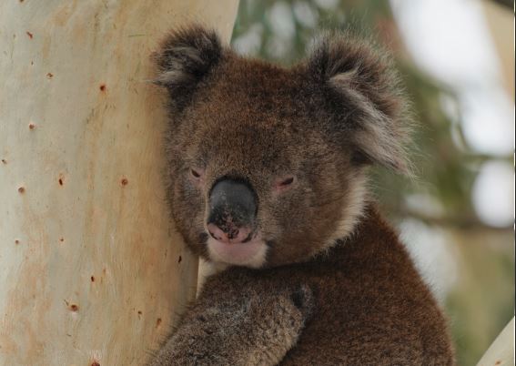
A novel study of bone and tooth fragments from koalas and rodents has given scientists a new way to understand how the Adelaide region has been settled.
Flinders University archaeologists Lee Rippon, Dr Ian Moffat and colleagues have completed the first ever strontium isotope mapping of Adelaide, to help build a dataset to underpin the provenance and seasonal conditions of future archaeological and other discoveries.
Strontium isotopes, found in rocks and soil, eventually make their way to human and animal bones and teeth, where they serve as a “fingerprint” of the locations they inhabit.
By mapping these values across Adelaide process, archaeologists now have a way to chart how people and animals have moved around the landscape – and the impact of human habitation.
Dr Moffat says the mapping of strontium isotopes preserved across the Adelaide landscape is an important step forward in preparing understanding the archaeology of South Australia.
“This analysis establishes a benchmark dataset against which previous studies of human (including Indigenous peoples’) tooth and bone samples can be contrasted,” he says.
“The Adelaide area is ideally suited for the investigation of human and animal mobility employing stable isotope techniques; both because of the amenable geology and landscape and because of the nature of the archaeological questions that can be addressed in the region,” adds Dr Moffat, senior lecturer in Archaeological Science at Flinders University, who also has worked on similar studies in Israel and recently Paleolithic archaeological sites in south-west France.
He says bioavailable strontium maps for regions of archaeological interest are becoming more widespread, with studies conducted in Israel, France, the Eastern Mediterranean, the Isle of Skye, Mexico and the Aegean islands as well as globally but this mapping of Australian regions is rare.
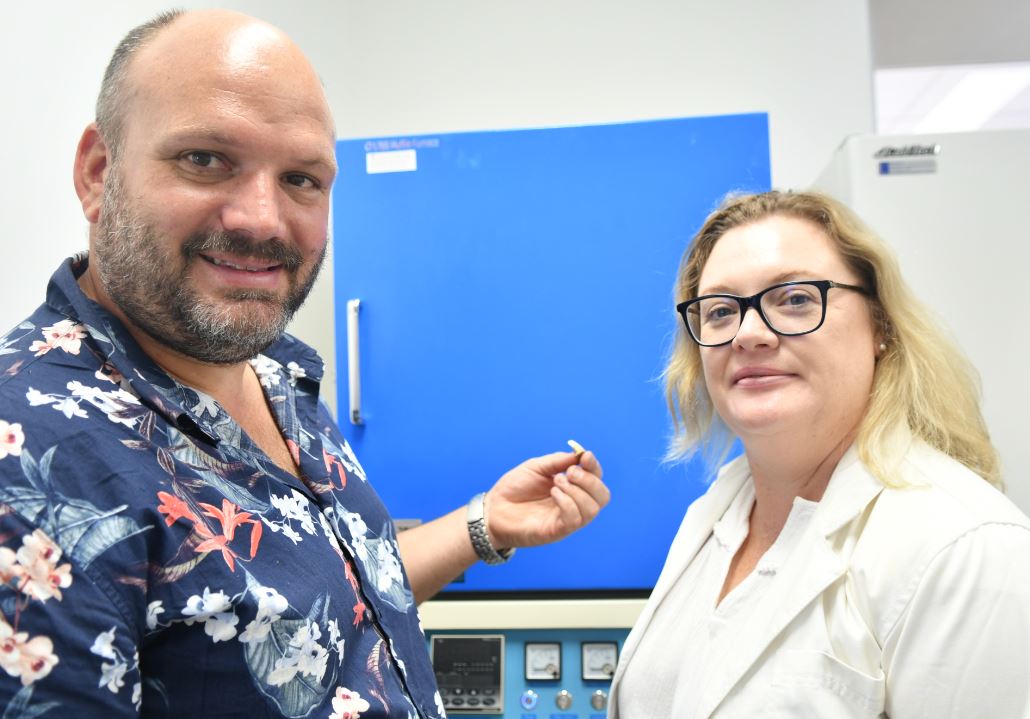
The study of nine teeth and nine bone samples combined advanced technologies including laser ablation multi-collector inductively coupled plasma mass spectrometry, thermal ionisation mass spectrometry and isotope ratio mass spectrometry.
Isotope data was compared to climate information from four weather stations, at the drier Adelaide Airport, Adelaide central (West Terrace) and higher rainfall, elevation and humidity areas near the Adelaide foothills (Waite Institute) and Mount Lofty.
“This study will create the basis for further investigations into the pre-European settlement of the Adelaide region, and help inform us about animals, plant life and weather before temperature and other climate records began,” says lead author Flinders archaeology master student Lee Rippon.

Koala remains are an ideal model for isotope testing with a relatively small home range of between 1 and 300 ha, obtaining most of their moisture from eucalyptus leaves. Rats are also ideal for isoscape mapping as they show strong site loyalty with a typical home range of an urban colony between 40m and 150m, making them easy to compare in the same location.
Koalas have one of the longest fossil records of any of Australia’s modern marsupial families, dating back at least 24 million years. They became extinct in South Australia following colonisation but were successfully reintroduced to the mainland after 1959.
The article, Baseline bioavailable strontium and oxygen isotope mapping of the Adelaide Region, South Australia (2020) by Lee Rippon, Mark Rollog, David Bruce, Juraj Farkas, F. Donald Pate, Timothy Owen, Teghan Lucas, Stuart McCallum and Ian Moffat has been published in the Journal of Archaeological Science: Reports (Elsevier) DOI: 10.1016/j.jasrep.2020.102614
The study received funding from the Australian Research Council (ARC) and a Commonwealth Rutherford Fellowship. Co-authors from Flinders University, University of Adelaide, University of NSW and GML Heritage contributed to the study.
Flinders University is lead partner of an $279,591 ARC Linkage, Infrastructure, Equipment and Facilities grant (LE210100037) to establish a national facility for 3D Imaging of the Near Surface. It aims to provide Australian researchers with access to next-generation geophysical instruments for high-resolution landscape scale mapping of the shallow subsurface. The expansive size and impressive density of these data can fundamentally change the research questions that can be asked in the fields of archaeology, earth, environmental and forensic science. This integrated suite of equipment is currently not available in the Southern Hemisphere and will position Australia at the forefront of the exciting field of near surface geophysics and facilitate collaboration with partner institutions in Asia, Africa and Oceania.