New tech to monitor climate change
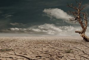
Weather extremes have become more frequent and intensive since the 1950s, and international hydrology experts are using new technology to map land areas subject to hotter, […]
Weather extremes have become more frequent and intensive since the 1950s, and international hydrology experts are using new technology to map land areas subject to hotter, […]
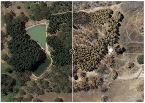
Adelaide-based Airborne Research Australia is creating free 3D high resolution maps of devastation caused by fires in the Adelaide Hills and Kangaroo Island to help communities […]
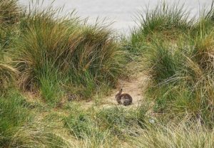
Rabbits have been identified as the culprit behind historical damage to the vast dune system that flanks South Australia’s Coorong. A long-term study by Flinders University […]